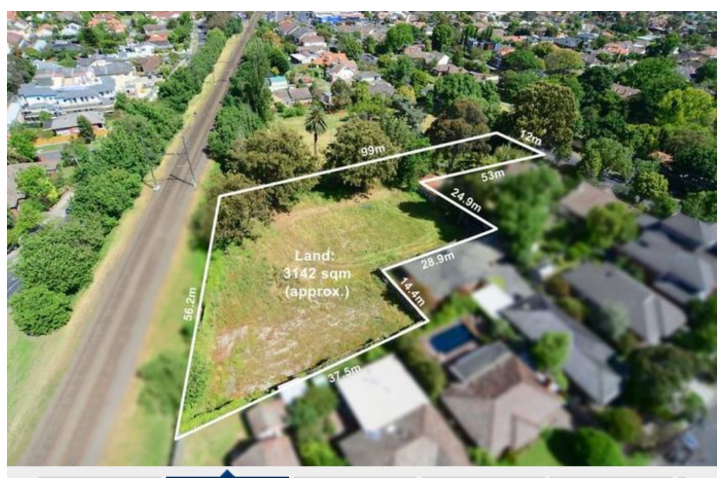
We’ve reported previously on the sale of 487 Neerim Road that abuts parkland. Council claimed that it could not buy the land to extend open space and so was sold off to a developer for over $2 million. It is on the market again – as a mortgagee’s auction! (see below). However this time, the pending sale is in concert with a planning application for 17 ‘villas’. Obviously a ploy to increase the value of the land and reap the biggest return. We reiterate, that what was originally Minimal Change is now well and truly planted in the middle of a Growth Zone. So much for council’s concern for neighbouring amenity. This speaks volumes of the incremental, secret, and ongoing increases in Housing Diversity throughout the municipality. For those interested, GERA, made several postings on this matter a while back. See: http://geresidents.wordpress.com/2013/02/09/lost-open-space-opportunity-update/
PS: Surprise! Surprise! Here’s another large sized property up for sale and Yes, there’s a planning application in for “multi-level” and 30 dwellings – all smack in the middle of Minimal Change! The application went in on the 15th August – well after the official announcement by the Minister but before the gazetting of the new zones! How convenient!

August 29, 2013 at 12:23 PM
I’ve just done a search on the planning register and the entry for this property has raised some alarm bells. It says – “Construction of seventeen (17) villa homes”. This is a very strange. There’s nothing here to identify whether these “villa homes” will be 2 storey, 3 storey or even 4 storey unlike other entries in the register. The anomaly needs to be explained.
Another aspect is “Allocation Pending”. I take this to mean that council hasn’t as yet decided whether they will send this to the DPC or to a full council meeting via a planning conference first. Something this size should by all counts go to council. If it doesn’t then this only shows up again the manner in which this council likes to deal with applications and how much it desires to keep things under wraps so to speak.
August 29, 2013 at 1:07 PM
There was a 2009 decision to grant a permit a permit for 3 storeys 28 dwellings too—the Minimal Change status carried little weight with VCAT. Now suspiciously the day before gazettal of C110 an application is lodged that doesn’t comply with its new NRZ zoning (not that it has to). It’s hard to fathom Council’s eccentric policies concerning open space and the criteria used for zoning too, because there’s no consistency. At least Arthur St is close to open space and to public transport and to shops. What does Council intend to spend the money it has collected for open space on? Given its statement to the effect that you’re well-served if open space is within 2.5km, regardless of quantity or quality, it has redefined the need for more open space out of existence.
August 29, 2013 at 1:45 PM
I remember fighting (along with about others) a planning permit for this property in 2009 – 3 storeys and over 20 dwellings in what was defined a minimal change area. Council rejected it and VCAT overruled the rejection
The VCAT decision was that 3 storeys was appropriate for the location even though it was in a minimal change zone. The decision did not change the minimal change designation and no planning scheme amendment has been submitted by Council to change that designation…
Yet come the new zones, hey presto it’s now a General Residential Zone 1 (3 storeys with minimal setbacks). Not only does it make a mockery of Council’s claims of “direct translation”, it also raises questions on how much influence the now bankrupt developer (it’s a mortgagees sale) had on the recently introduced new zones vs. the residents whose objections clearly demonstrated they wanted the property to remain minimal change.
August 29, 2013 at 3:43 PM
The approved and gazetted zone map shows it as NRZ. There appears to be a bug in Planning Maps Online such that its not distinguishing GRZ and NRZ with different colours.
August 29, 2013 at 11:35 PM
Yes Reprobate, what a joke it all is … just more word play. The deviation from the new rules of C110 (or whatever it is known by) is like a wolf in sheep’s clothing. Quigte obviously there have already been this major slight change of plans and then there is the mystery of the Alma Club site. There is only one purpose it would seem to me that it is a means of telling residents that they needn’t worry any more and of course some believe them so i believe it would have the same effect as a Valium or maruana fix to bring about relaxation in the belief that their word os to be trusted.
And of course you speak of the old perennial favourite “open space”.n and you ask what is on the shopping lisy as items.. you can be assured it will not be open space but probable a new building, concrete plinthes, bitumen car parks and roads with pedestrian crossings so in effect when we do our sums the payment of “open Space” levies by developers usully always means a loss of open space. In all memory for all the units and the millions which have/or should have been collected two whole house blocks have been purchased for public recreation.
If one were to add up all the areas of open space/our council land which have been sold off or given away over the years in this adho it would be absolutely staggering!
So never forget most of the little money which is collected on an adhockery
manner only pays for more grass coverage.
August 30, 2013 at 3:30 PM
just noticed the following has been sold before auction http://www.realestate.com.au/property-house-vic-carnegie-114528819. It is over 1200 square metres in Truganni Road Carnegie. Notice the house next door 253 Neerim Road was also sold recently. Another 600 square metres. This is the brown area on the council map. Imagine what we are going to see here soon!. Hope at least the sellers in the brown area are at least making some money. It is going to put incredible pressure on Carnegie Primary. It will soon have to have very small zones.
August 30, 2013 at 5:31 PM
And still no sign of a lowering of speed limits along these stretches of road targeted for higher density development, where pedestrians and cyclists are allegedly being encouraged. Council has been silent about the discretionary nature of all the amenity standards bar height too. The “transition” zones, which don’t exist around Carnegie Primary School, rely on somebody actually applying the standards. A new Council policy is required, one that removes from council staff delegated authority to grant planning permits where the standards are not met.
August 30, 2013 at 6:18 PM
I wonder if 4 storey 1 bedroom apartments overlooking a school oval is really a good idea? (Im assuming this is what will be built)
September 4, 2013 at 10:40 AM
Truganni Road, Carnegie is pretty unique to Melbourne – the eastern side of the arc (between Glen Huntly Road and Koornang Road, ie. the tram terminus) is one of the few, if not the only, place where parking on the nature strip is allowed.
In the late 1990’s when the tram lines were widened, it was decided to allow nature strip parking because it was deemed too dangerous (to pedestrians, cyclists and vehicles) and would cause much traffic congestion (for cars and trams) if residents tried to access or exit their property in motor vehicles. The comprise – much safer for all if residents parked on the nature strip rather than on their property – Council even re-inforced the nature strips to allow it and provided residents with a letter exempting them from being fined.
And what’s Council done now – designated it a high density area which means lots of cars (not enough nature strip) trying to get onto or off the road. Brilliant job Council!!!!!!
September 3, 2013 at 9:44 PM
It should be ok if all the overlooking residents and their visitors obtain a “Working with Children” Certificate.