Unbelievable is an understatement!!! It is simply staggering that after nearly 5 years since introducing an Urban Forest Strategy, and proclaiming time and time again how combating climate change and tree canopy loss is a top priority, Council has no idea as to how many canopy trees have been lost on private land – the major factor in our decreasing canopy. What this means is, that there is absolutely no way of determining whether the Urban Forest Strategy and its target goal for canopy increase is in fact a ‘success’ or a dismal failure – despite all the spin and more policy introductions such as the Local Law.
Following a question to council, we finally have an admission as to how little attention has been paid to our environment and its long term sustainability. Here is the relevant question and the answer:
QUESTION: Council in its Urban Forest Strategy has identified that tree canopy removal on private land is largely responsible for the municipality’s overall tree canopy reduction over the past two decades. The latest agenda states in Item 10.4 that “Since the adoption of the Local Law in August 2024, Council has issued 662 canopy tree local law permits” This however does not reveal how many trees are involved in these permits. Therefore, my question is: of these 662 permits, how many canopy trees were actually granted approval for removal as opposed to simply the number of permits granted?
RESPONSE
At Glen Eira Council, the local law is administered per site and not per tree, so only one application is required for a property regardless of how many trees are being removed. Some permits may also include both removal and pruning of trees on sites. As such, we are unable to provide a specific number of trees that have been removed without manually checking each permit and what it allows. We are currently in the process of updating our records system to capture this information in the future.
Perhaps the above also explains the following:
- Annual reports and quarterly reports proudly state the numbers of trees planted in parks and streets. But since 2021 or so, we have never been told how many trees are ‘replacement’ – ie how many have been lost! It’s all very well to keep stating ‘we are planting 1000 or 2000 trees per annum. But if we lose 800-1000 each year, is this actually increasing our tree canopy, or are we going backwards? Is the refusal to publish, or even keep such data, a cover up, where lip service and ineffectual policies replace positive action and proper funding?
- When the Tree Canopy Protection Law was introduced, any refusal to grant a permit for tree removal could be challenged via a formal objection. This objection would then be considered at a full council meeting with the relevant documentation made public. Councillors would then vote and decide whether or not to grant a permit for removal. This has now disappeared. Everything is decided by officers. Thus, there is no transparency and certainly no accountability as to why the various decisions have been made. We doubt that councillors are even aware of why and how many of these decisions occur.
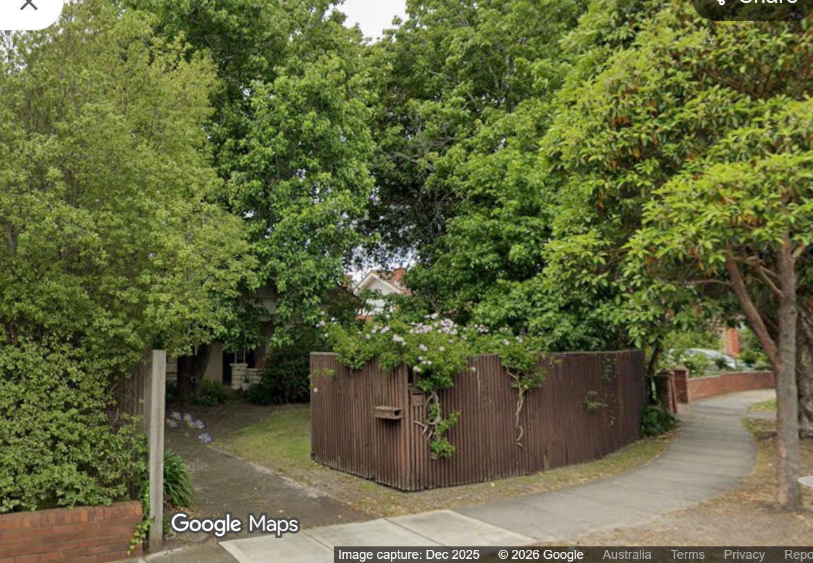
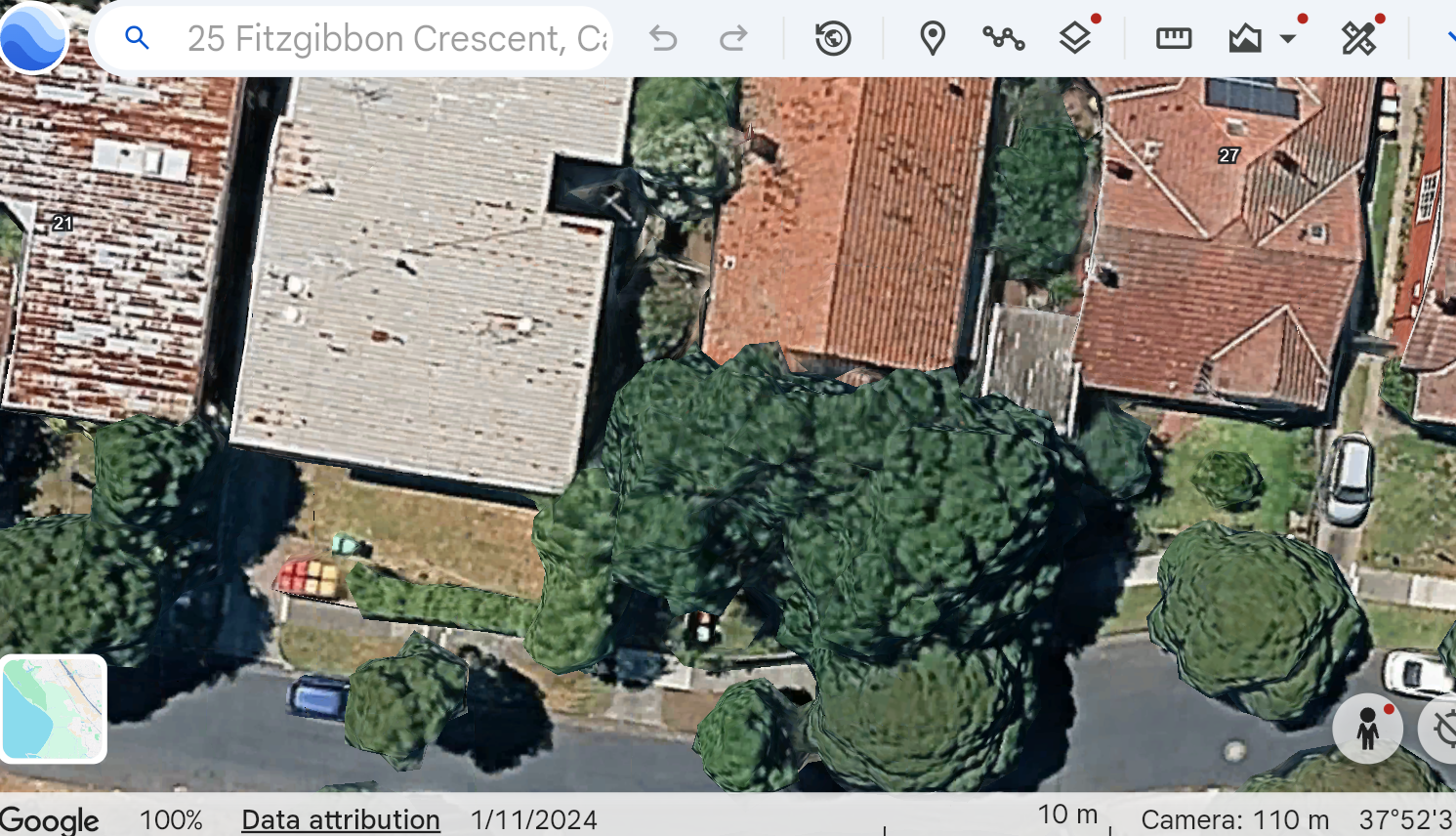
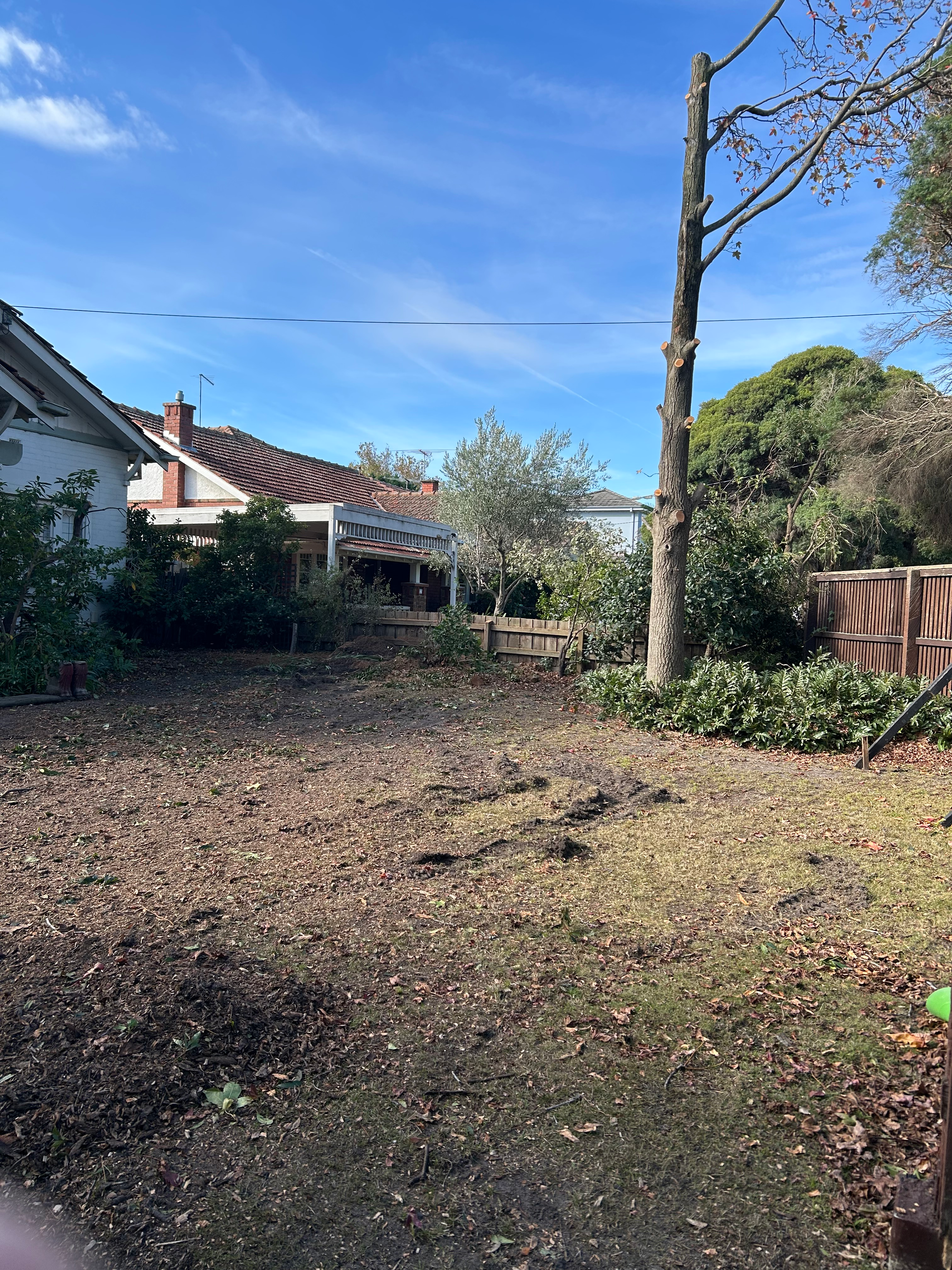
Nothing appears to have halted moonscaping in our residential streets. We therefore are putting out a request to our readers. If you are driving or walking past a moonscaped site please forward us the address or even better, a photo of the site. We will endeavour to follow up and discover how many trees have been lost and why this has been permitted! Only when there is full transparency and decent funding can we truly believe that this council is fair dinkum in decreasing our appalling history of canopy loss.
Email us at: gedebates@gmail.com