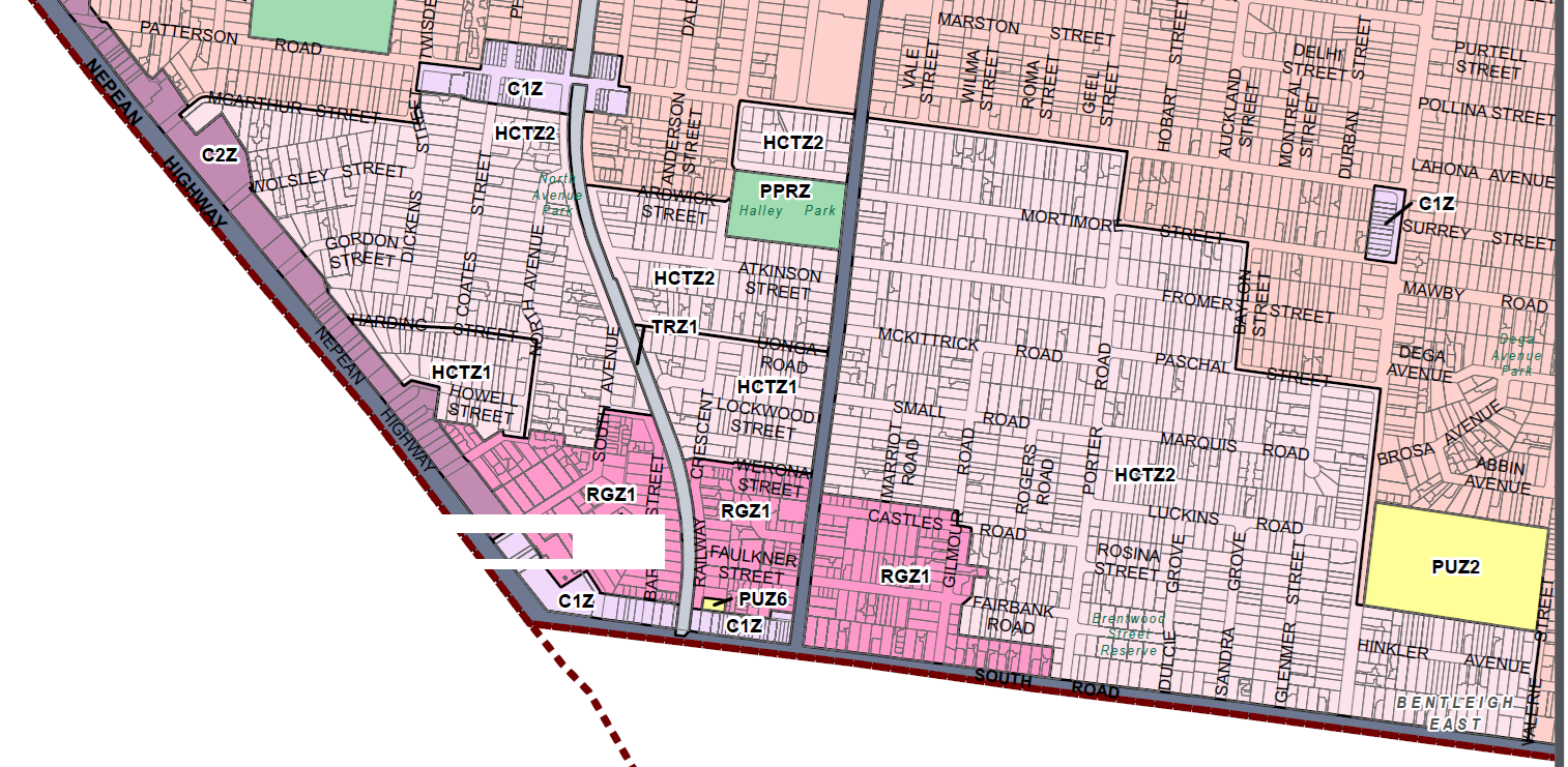
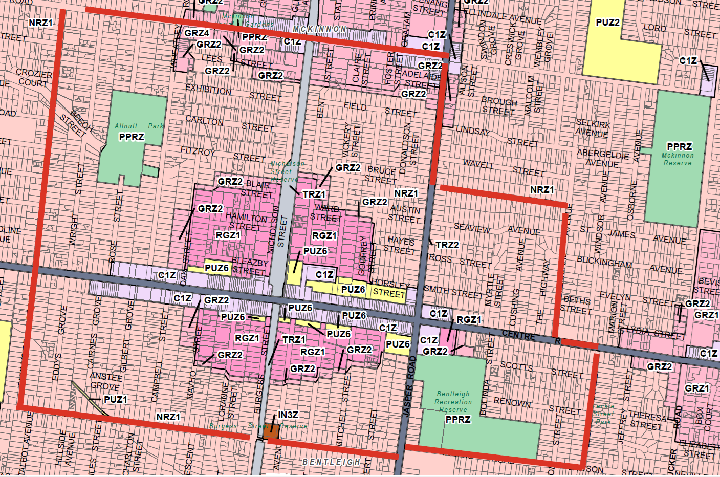
At last several councils have decided to fight the State Government’s ad hoc planning decisions with concerted legal action. The latest comes from Boroondara and their appeal to the supreme court. In contrast Glen Eira sits back and continues to be silent and compliant, despite the fact that our municipality is being torn to shreds with amendment after amendment that lacks evidence, transparency and full accountability.
Here is the Boroondara media release. (See: https://www.boroondara.vic.gov.au/your-council/news-and-media/media-centre/media-releases-and-statements/boroondara-seeks-judicial-review-ministerial-planning-permit)
Boroondara seeks judicial review on Ministerial planning permit
Tue 14 July 2026
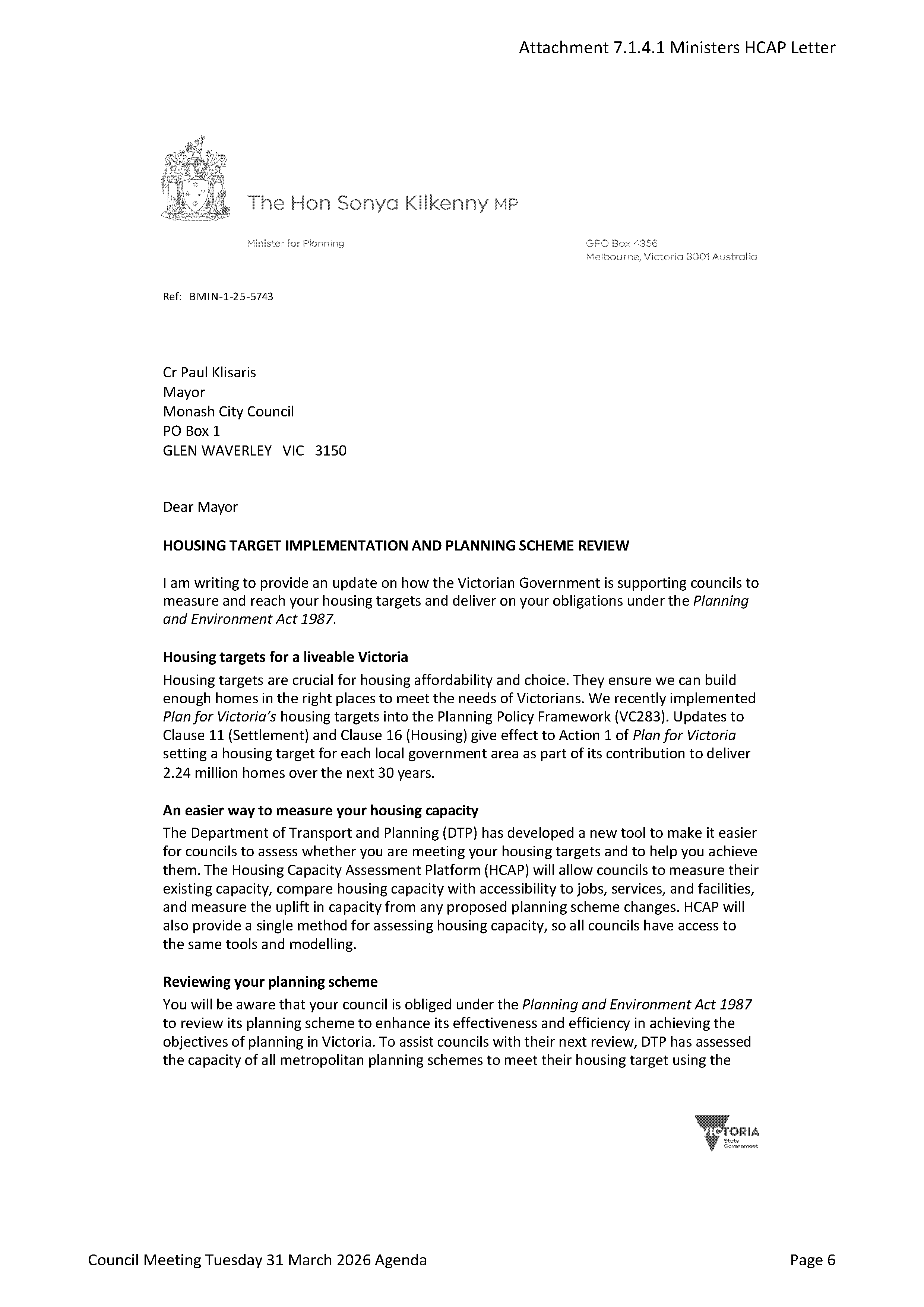
The City of Boroondara has served Supreme Court proceedings on the Victorian Minister for Planning, Sonya Kilkenny MP, in relation to a planning permit she issued for the redevelopment of the Leo’s supermarket site in Kew.
The Minister’s decision is being challenged because she did not appropriately consider the applicable planning controls and whether the developer had permission to use Council land to build the project.
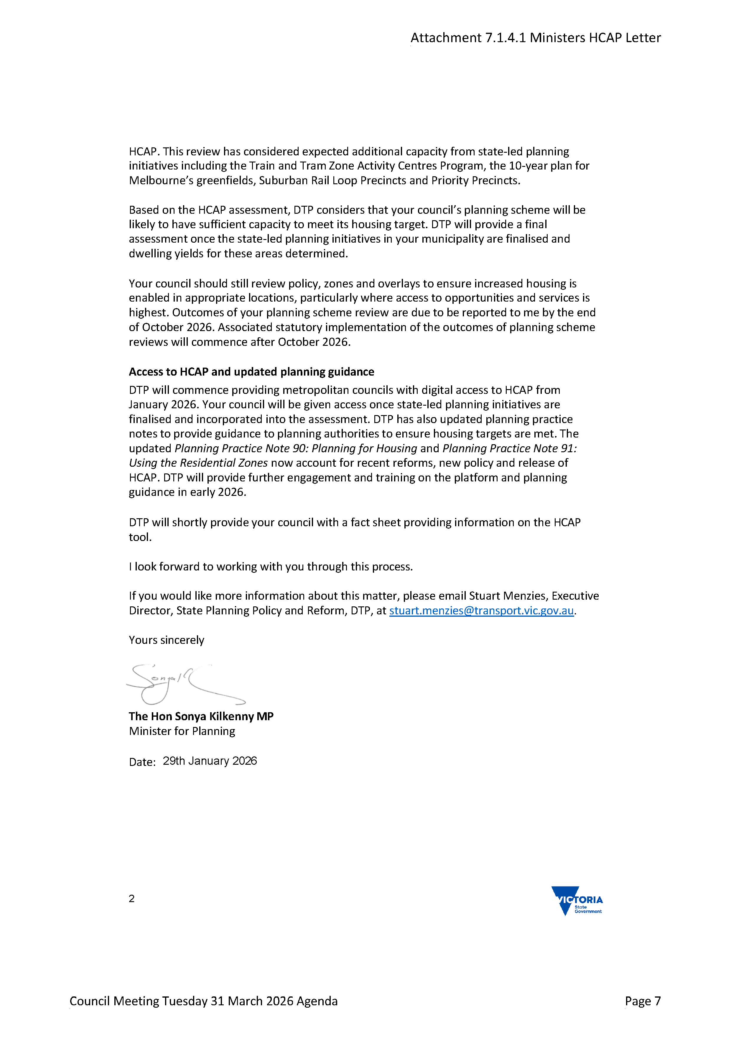
The planning permit allows for the development of four towers on the site with a maximum height of 18 storeys, exceeding the government’s own height controls for the site (16 storeys), which were only recently published on 18 March 2026. The previous height limit for this site in the Kew Structure and Place Plan was 9 storeys and was approved by the Minister for Planning on 4 May 2017.
The development also proposes substantial alterations to council-owned and operated land, which Council has not consented to. If changes are to be approved to this land, Council is firm that the variations need to deliver a positive result for all community members, not just the developer and residents in the new development.
Cr Wes Gault, the Mayor of Boroondara, stressed the legal action was a last resort to achieve important changes to the project.
“We have not made this decision lightly, but we are requesting this judicial review in the best interest of our community and residents,” he said.
“We are not opposed to this development – in fact we agree that this is a great site for a new mixed-use development – but we want to ensure the best result for our community with a building that better fits in the space, has affordable housing, and includes a public environment that delivers for all of us.”
“We submitted extensive feedback on how this development could be improved when the Minister was considering this application, and we are disappointed that few changes were made based on this considered and constructive feedback.”
We have also asked for a meeting with the Minister for Planning in the hope these matters can be resolved without the need to continue our legal proceedings.
Specific changes the City of Boroondara would like to see include:
- Modifications to the building’s design to reduce overshadowing concerns and comply with the government’s own Activity Centre controls;
- guarantees that affordable housing will be built on site;
- better landscaping, pedestrian flows, and building materials on council owned land. This land currently delivers a public benefit, and developer modifications to this space would need to be of a high quality and fit Council expectations;
- ensuring that any reliance on Council land for vehicular and pedestrian access is well designed, safe and fair; and
- ensuring access to the Council-owned land is well considered and equitable to all community members.
Boroondara is committed to ensuring that future growth is supported by great services and required infrastructure and has a long track record of supporting high-quality mixed-use developments, with thousands of new residents moving to Boroondara in recent years.
This consistent and successful growth in Boroondara over the last 30 years, where there are few large undeveloped sites, should not be directly compared to Melbourne’s rapidly growing outer suburbs where housing estates are built in greenfield areas.
Councillor Gault concluded by highlighting that the legal action would not change Council’s ongoing work with the Victorian Government on a range of projects from library redevelopments to the development of new sporting and parkland precincts.
“As Councillors, we will always advocate to the Victorian Government in the best interest of our residents, and I hope we can work together to resolve this matter quickly.”
The proposed development falls within the Kew Activity Centre, one of seven within the City of Boroondara. More broadly, Council has a range of concerns regarding the use of the DFP planning permit pathway. Council believes local councils should be the decision makers for development applications lodged within their local areas, and residents should have more of a say in the developments that shape the future of their streets and neighbourhoods.