Nick Staikos Media Release –
Mandatory height limits for Bentleigh
The Andrews Labor Government has unveiled new planning rules for Glen Eira that will protect neighbourhood character and put local residents first.
Minister for Planning Richard Wynne has approved new controls for activity centres in Bentleigh, Carnegie and Elsternwick, with maximum building height and setback rules that respect the area’s low scale shopping strips, residential heritage and gardens.
For Bentleigh and Carnegie, height controls have been updated and extended to reflect planning work by Council.
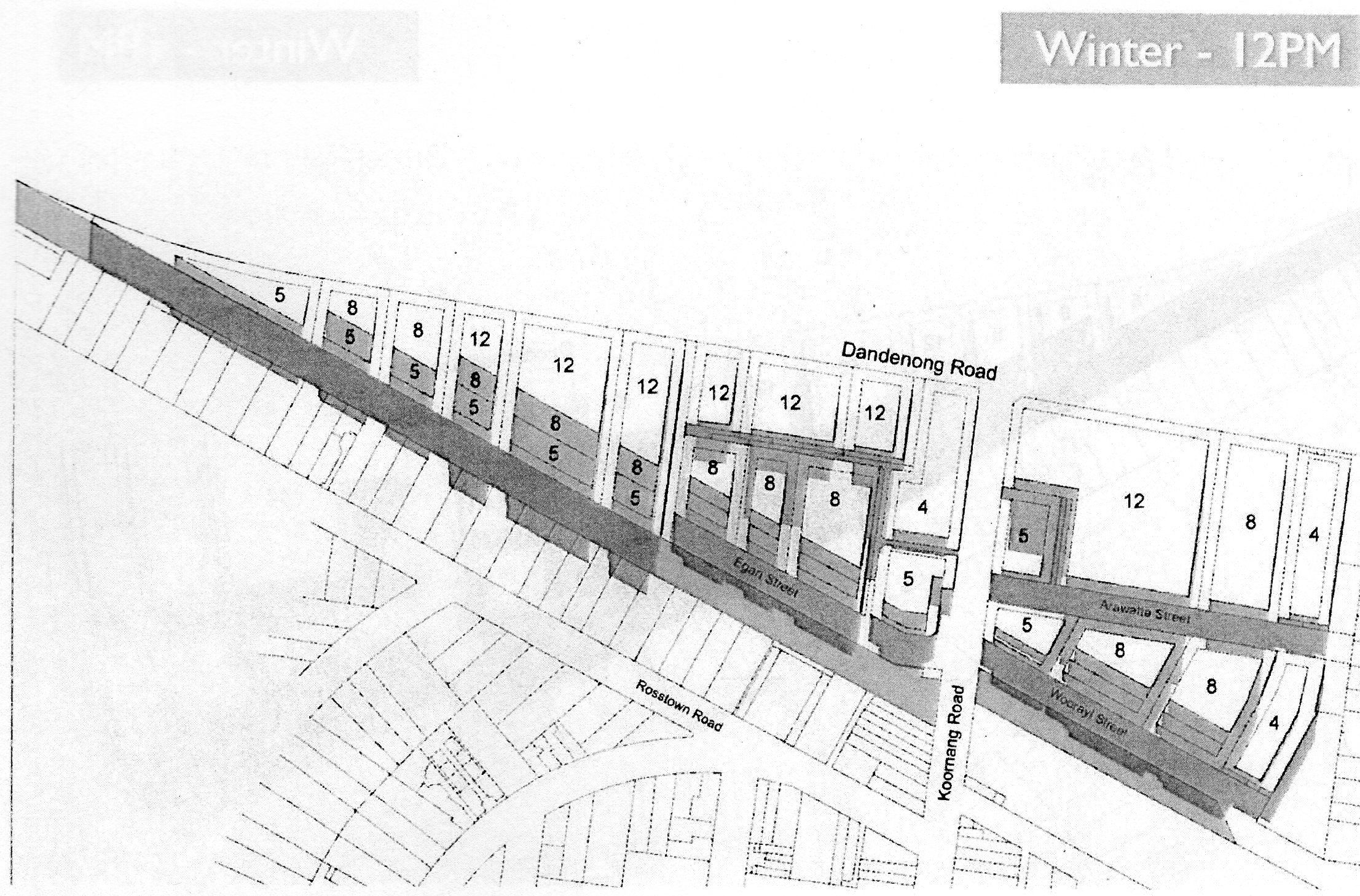
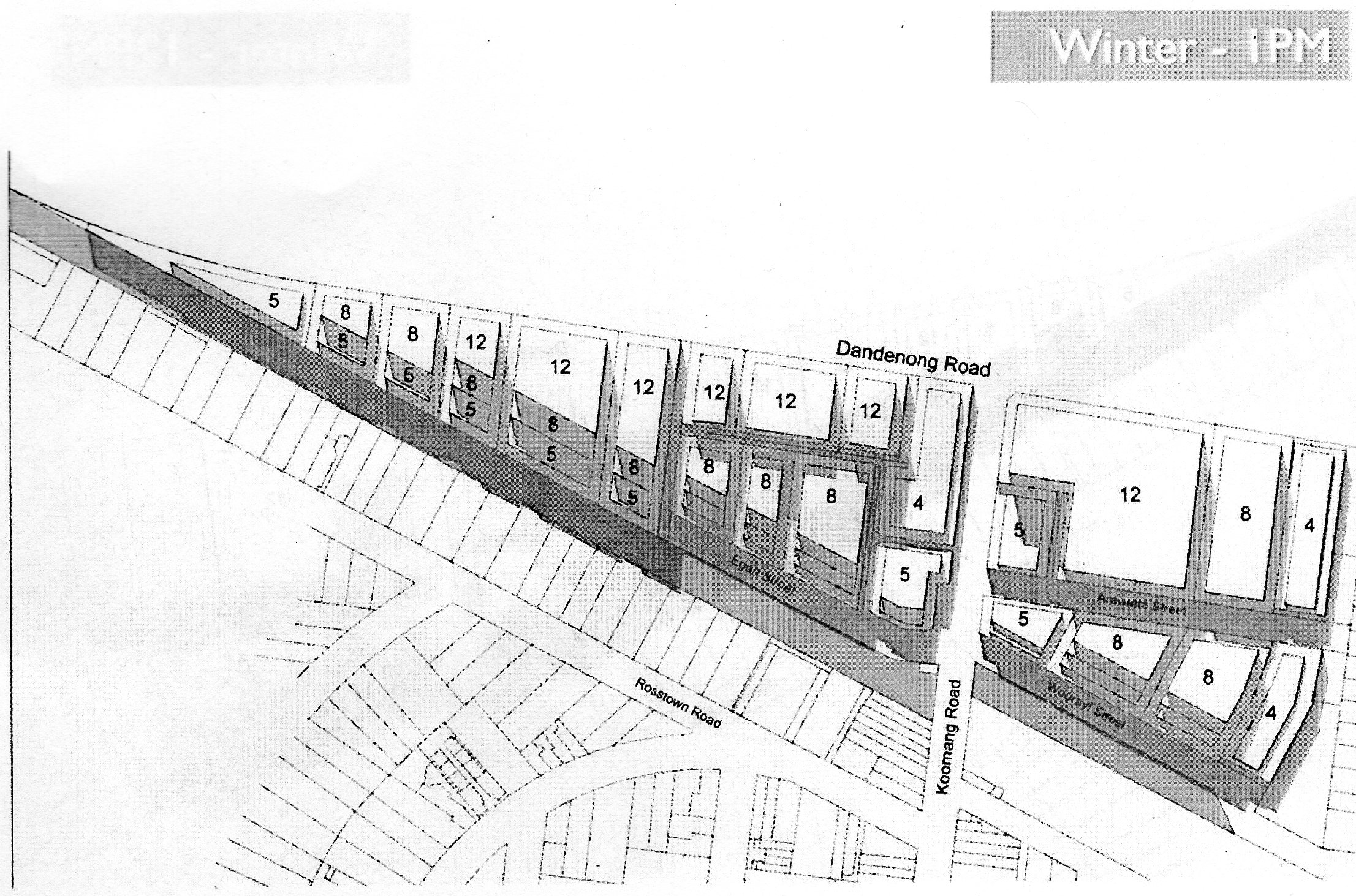
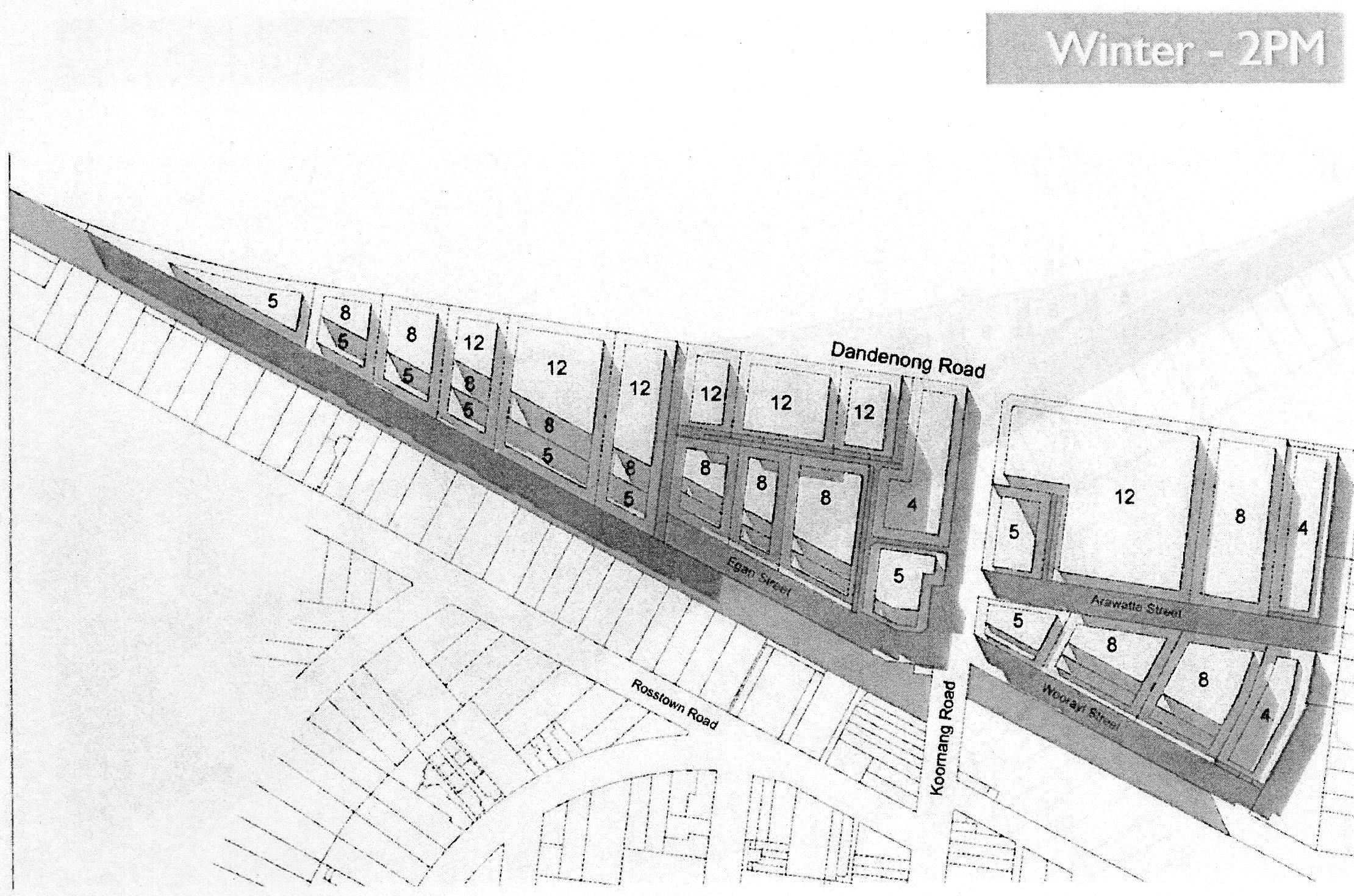
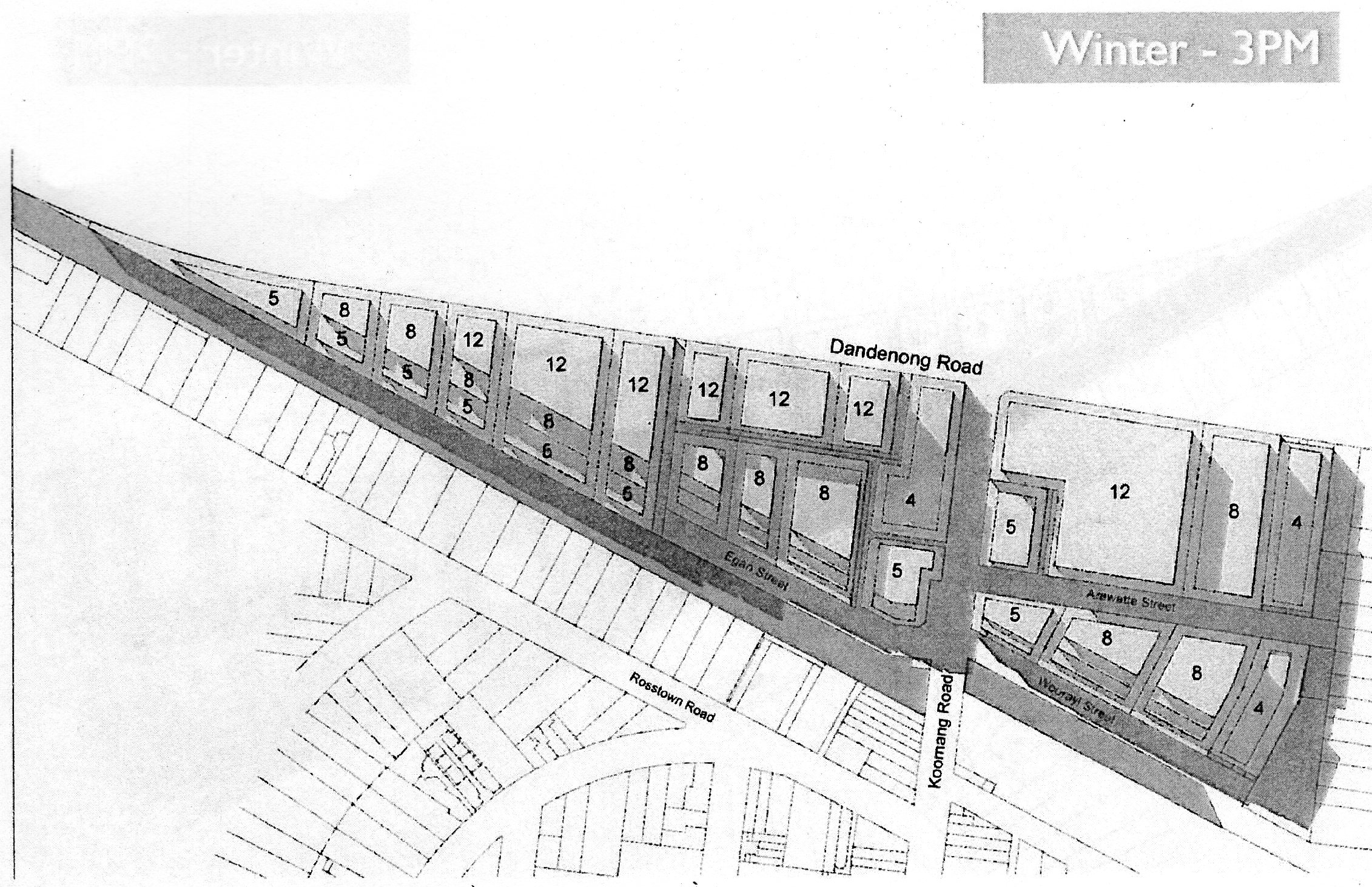
In Bentleigh the maximum mandatory heights are now between two and five storeys.
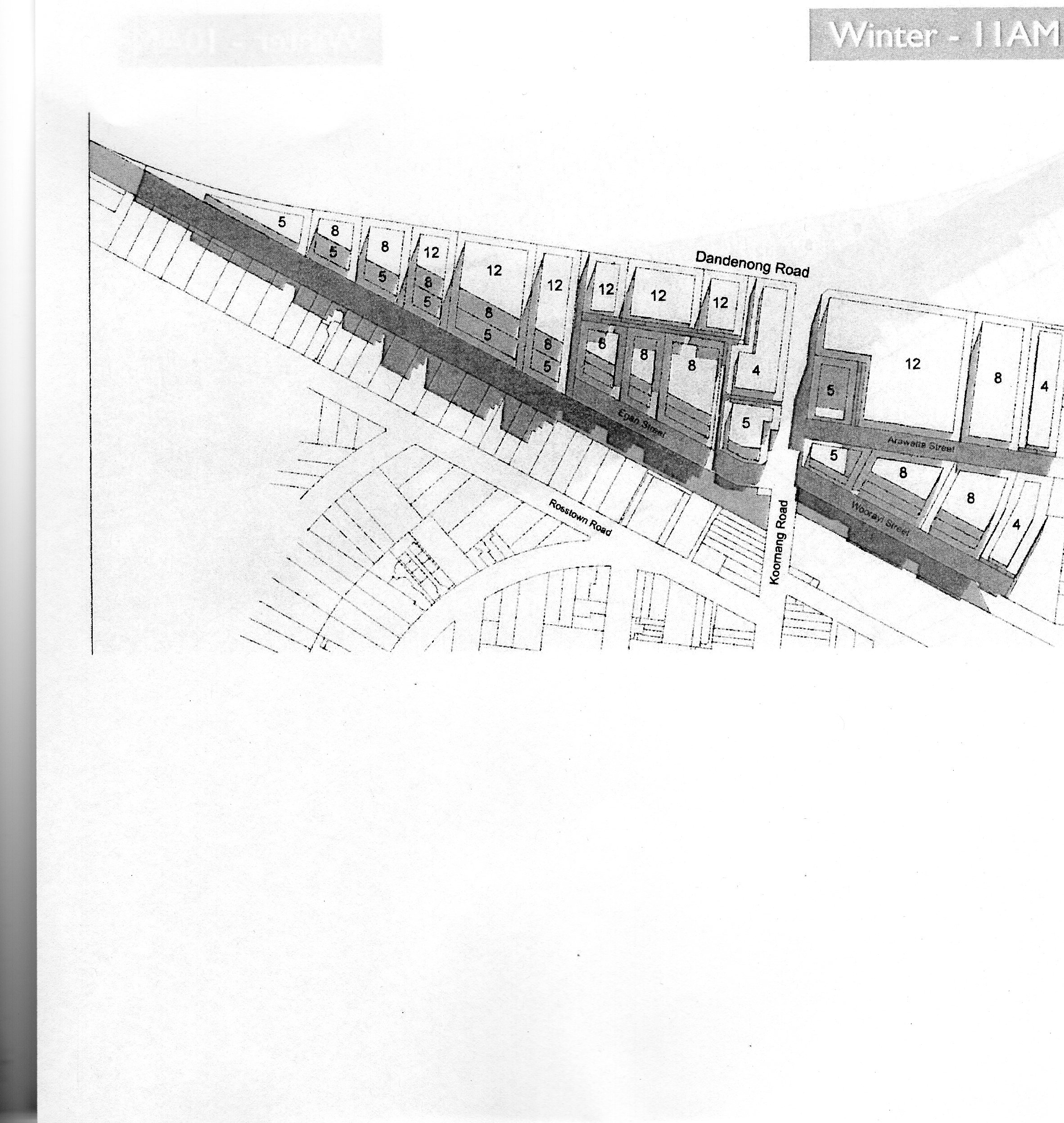
In Carnegie’s Koornang Road commercial area and surrounding residential growth zones, heights are set at a mandatory maximum of two to four storeys. The commercial area adjacent to Dandenong Road in Carnegie now has a maximum of eight to 12 storeys.
For Elsternwick, which previously had no height controls, discretionary heights of between two and 12 storeys have been introduced.
While the new controls are interim measures, Glen Eira City Council will prepare permanent controls to be exhibited for public consultation.
Former Planning Minister Matthew Guy approved skyscrapers that lined the pockets of developers but the Labor Government is putting residents first, protecting our famed liveability with transport infrastructure, growth corridors and fair height limits.
Quotes attributable to Minister for Planning Richard Wynne
“These interim controls will protect these communities while Council develops permanent controls.”
“This will provide certainty for both developers and residents as to what can be built in these important shopping precincts.”
Quote attributable to Member for Oakleigh Steve Dimopoulos
“The mistakes made by the previous Liberal Government are obvious to everyone who lives in my community. The changes announced today are a massive win for local residents.”
Quotes attributable to Member for Bentleigh Nick Staikos
“As a lifelong local, I am pleased to have secured height controls in Bentleigh. Unlike the local Liberal candidate, who has supported 30 storey buildings in our suburbs, I will always act to protect Bentleigh’s liveability.”
Source: http://www.nickstaikos.com.au/media-releases/mandatory-height-limits-for-bentleigh/