Poor Rocky Camera! Forced to follow to his masters’ political agenda and in the process produce one of the most farcical officer reports in living memory. For this Frogmore application, Rocky has literally had to perform planning hari-kari in order to come within cooee of justifying why he recommends a refusal for the Jewish Care Aged Care Facility in Carnegie. The devious shenanigans that obviously go on behind closed doors are highly visible when this report is compared to others in the agenda. But more of that later.
First some questions:
- Will Esakoff and Delahunty declare a conflict of interest – or have Eskaff’s ‘close relatives’ found a suitable place in the meantime? Will Magee grace us with his appearance this time?
- Will Lipshutz, Hyams and Pilling be consistent and vote for a permit, given their arguments for abandoning the option of going to a Planning Panel and thereby allowing the destruction of what should have been a Heritage Building? Or as astute political beasts will they vote for refusal knowing that this will end up at VCAT, and a permit will be granted – giving council more ammunition in its spurious argument that VCAT is the sole villain for everything!
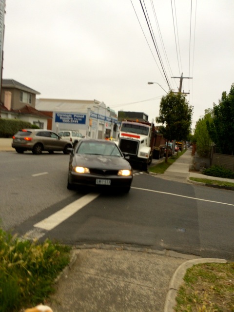
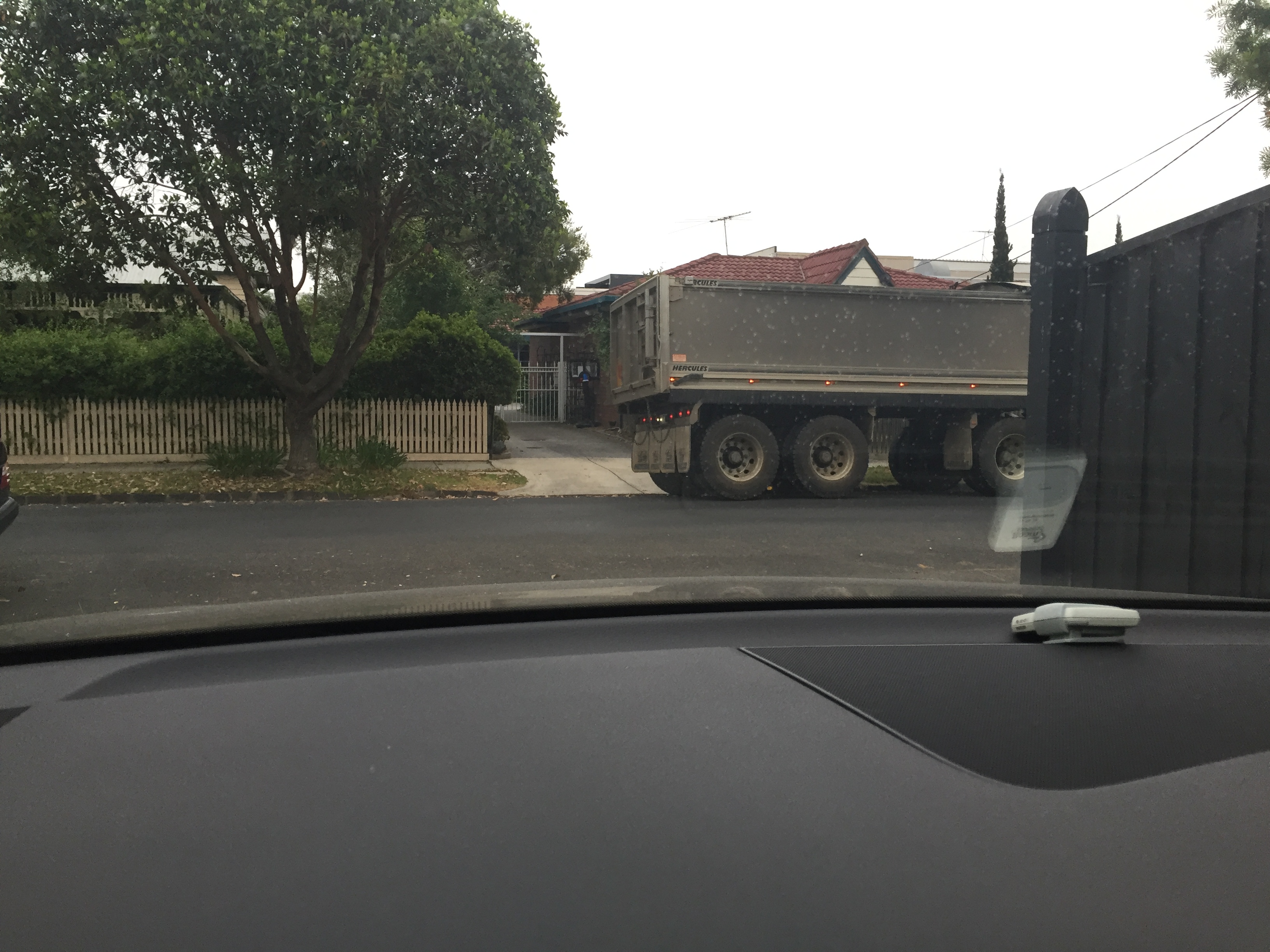
- Why the ‘refusal’ anyway? – especially when there are no solid grounds for refusal in our view? Frogmore evoked plenty of community opposition, and plenty of negative publicity. Adding salt to the wounds, 88 trees were chainsawed prior to a permit decision. Is Council trying to curry favour with disenchanted residents? Adding to its pathetic arguments about VCAT?
- When other applications on this agenda receive permits with countless conditions attached, then why couldn’t this Frogmore site also have conditions applied rather than straight out refusal? Mind, we are not arguing for the travesty that has occurred here. We are simply comparing officer reports across a range of applications and noting how biased, inconsistent, and inept they are. What appears to happen is that decisions to grant or not grant permits are made first, and then officer reports cobbled together in the attempt to justify these predetermined decisions. Frogmore is the perfect example!
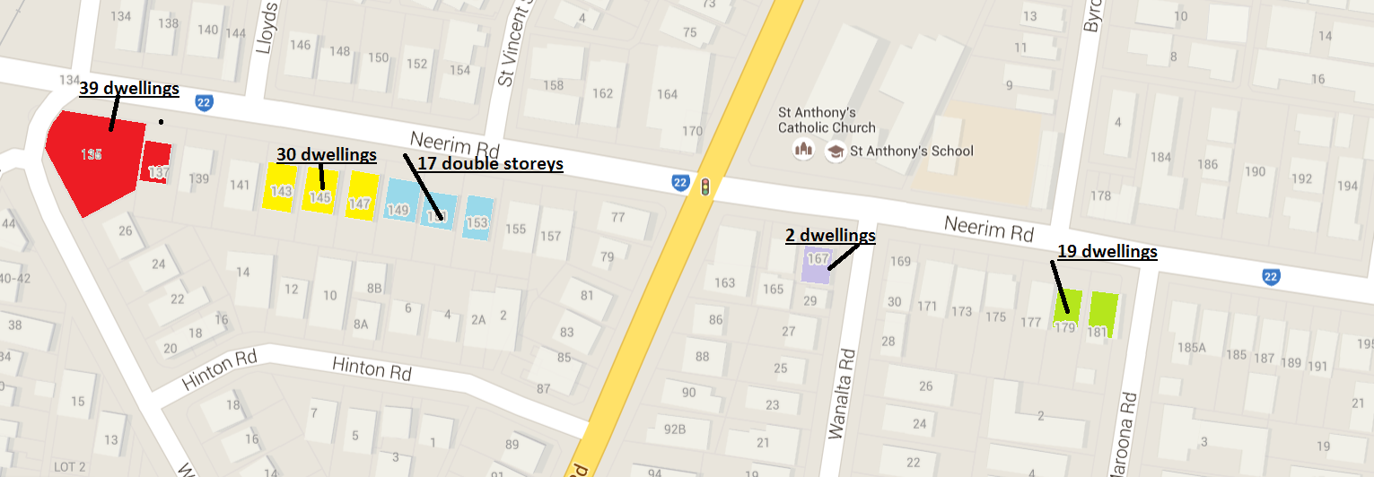
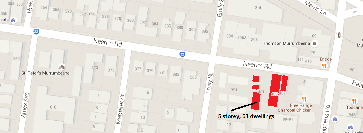
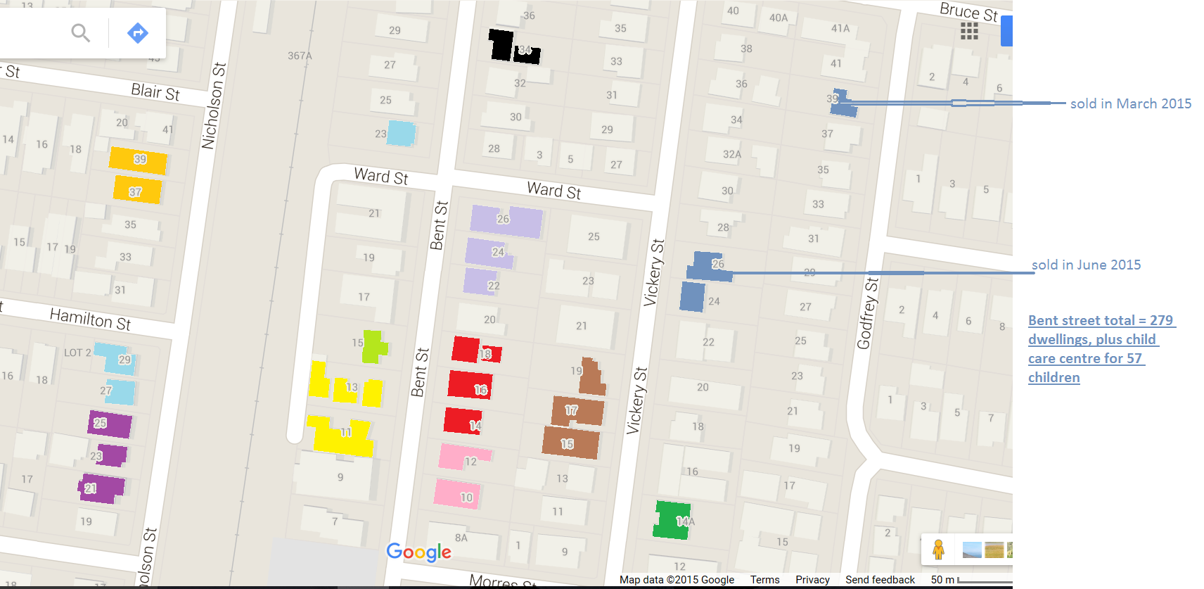
As for the actual Camera report, please read the following carefully and compare what this application states against others prepared by the same individual and which were granted permits – ie a North Road complex wanted 7 storeys and 67 dwellings. Recommendation was 5 storeys and 45 dwellings. Another was for Truganini Road – 4 storeys and 20 dwellings. Permit recommended. The last one is quite remarkable – another in Bent Street, Bentleigh for 4 storeys and 35 dwellings and heaps of tenuous and suspect conditions. But no such luck for Frogmore! Italicised comments come directly from the reports.
It is considered that the site does not satisfy the policy location objectives. The surrounding streets are not considered particularly busy roads which could potentially justify the location. (Frogmore)
COMMENT: The Planning Scheme states – on some pre-existing large sites, aged persons housing may be appropriate in Minimal Change Areas. The site is huge – roughly 8000 square metres.
Furthermore, the Minimal Change Area Policy seeks to discourage the siting of two storey dwellings or buildings at the rear of sites and adjoining neighbouring secluded private open spaces. This policy objective acknowledges that a significant characteristic of Glen Eira’s Minimal Change areas is of open rear yards free from the visual bulk impacts of double storey buildings. (Frogmore)
COMMENT: The planning scheme again disregards the 2 dwelling limit in neighbourhood residential zone for large allotments! Further, if council was so concerned about double storeys in rear yards, then it would have had to reject countless applications. It has not!
The upper-floor faces several neighbouring back yards (along the north, south and west sides) with setbacks ranging from 4 to 6 metres. This is not considered appropriate given the significant length of the building and its potential visual bulk impact on adjoining properties (Frogmore)
COMMENT: Again, the schedule to the neighbourhood residential zone only requires 4 metres for side and rear setbacks! Not a word about ‘length’ of building or setbacks for upper storeys.
The southern portion of the site that fronts Wahgoo Road is proposed to be utilised for services with a substation, waste rooms and meter boxes. This area would be accessed by a separate crossover. This is considered a poor neighbourhood character outcome that detracts from the streetscape appearance of the development and unreasonably compromises the health of the retained trees on-site and adjacent street trees. (Frogmore)
COMMENT: according to the plans, the building will be 9 and 10 metres from the street!
The development will cast a shadow over adjoining properties. However, overshadowing complies with the guidelines. (Frogmore)
COMMENT: Compare this with the less pejorative language used for the North Road permit application – Overshadowing of adjoining properties is considered acceptable and in accordance with accepted ResCode overshadowing Standards.
Four Flax Leaf Paperbark street trees are located across the Wahgoo Road property frontage. The application seeks to remove all four street trees. Council’s Parks Services Department does not support the removal of these street trees as they all display good health, form and structure. All street trees are also consistent with the streetscape. (Frogmore)
COMMENT: Then we get this comment regarding trees in North Road – Due to the development impacts on the street trees, the 4x Desert Ash street trees located on Carlyon Street are recommended for removal
The application proposed the removal of 88 trees from within the subject site. Some of these trees include native vegetation. It is noted that these trees have already been removed from the land. At the time of writing, an investigation is being conducted on whether this breached the planning scheme. Council’s Landscape Assessment Officer has advised that the health of the 4 trees to be retained on-site will be compromised by the siting and design of the proposed development. This is considered a poor outcome that cannot be supported.
AND THEN THERE’S RESCODE
The Frogmore application is said to fail on two Rescode guidelines – its site coverage and permeability. 52% for site coverage instead of 50% and permeability of 23% instead of 25%. How many ResCode provisions are not met in the following – YET THEY STILL GET A PERMIT! We quote:
Truganini Road – The third floor side setbacks of 7.0m do not fully accord with ResCode and are approximately 0.3m less than the prescribed setback but are considered to be satisfactory because the amenity of the existing dwellings at 7 and 11 Truganini Road would not be significantly reduced.
Bent St does not meet ResCode requirements in terms of:
- Street setbacks plus east, south and western setbacks
- Landscaping – condition to reduce size of basement car parking
- Site coverage
- Storage space size in basement
- Lack of sunlight in bathrooms
Permeability –The site coverage exceeds the 60% State Government requirement. The development also fails to achieve the 20% permeability requirement. It is considered that the recommended setbacks will successfully address these areas of noncompliance. (Bent St)
Conclusion? Council is hedging its bets again, relying on VCAT to do its dirty work. It should also be noted that there is not one word in this officer report about ‘community benefit’ of an aged care person’s facility, when this was the main thrust of the argument to allow the destruction of Frogmore House! Tuesday night should make for fascinating viewing!